
Rampart Range Road
60 Miles on the Ridge
Rampart Range Road is one of Colorado's great ridge-top drives — 60 miles of maintained Forest Service road running along the top of the Rampart Range between Sedalia in the north and Woodland Park in the south. From up here you get an uninterrupted panoramic sweep of the entire Front Range, with Pikes Peak dominating the southern horizon and Denver's skyline glittering to the north on clear days.
The Route
Woodland Park → Rampart Range Road → Sedalia — ~60 miles, 3–4 hours
Start: Woodland Park (8,465 ft)
Pick up Rampart Range Road (FR 300) just north of Woodland Park. The road climbs immediately onto the ridge with views of Pikes Peak behind you. This is the most dramatic start of any drive in the region.
Raspberry Mountain (Miles 5–15)
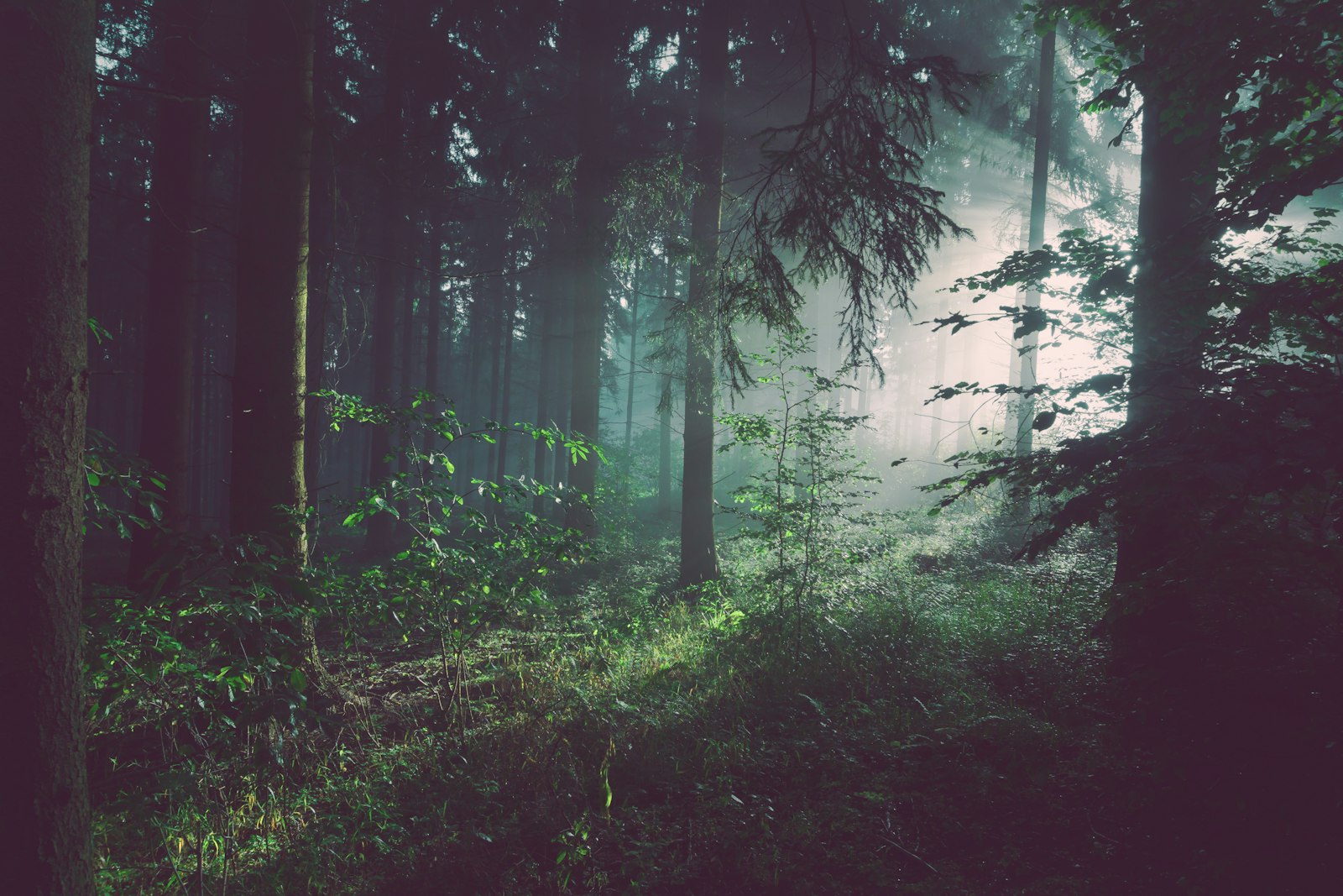
The road traces the ridge through dense ponderosa pine, opening into meadows with 180-degree Front Range views. Multiple pullouts invite you to stop — don't rush this section.
Schubarth Road Junction (Mile 20)
A popular access point. From here you can see all the way to Denver on a clear day. The Shelby F-250 handles the occasional rocky sections with ease.
Balanced Rock (Mile 35)
A short walk from the road reveals Balanced Rock — a massive granite boulder perched improbably on a narrow base. Worth the 10-minute detour.
North Section to Sedalia (Miles 40–60)
The road gradually descends off the ridge through private ranch land, eventually reaching the plains near Sedalia. The contrast between mountain and prairie at the end is striking.
Difficulty & Tips
Ready for 60 Miles on the Ridge?
The Shelby F-250 was built for exactly this kind of drive. Book today and see the entire Front Range from the top of the world.